New Delhi, December 19, 2025:
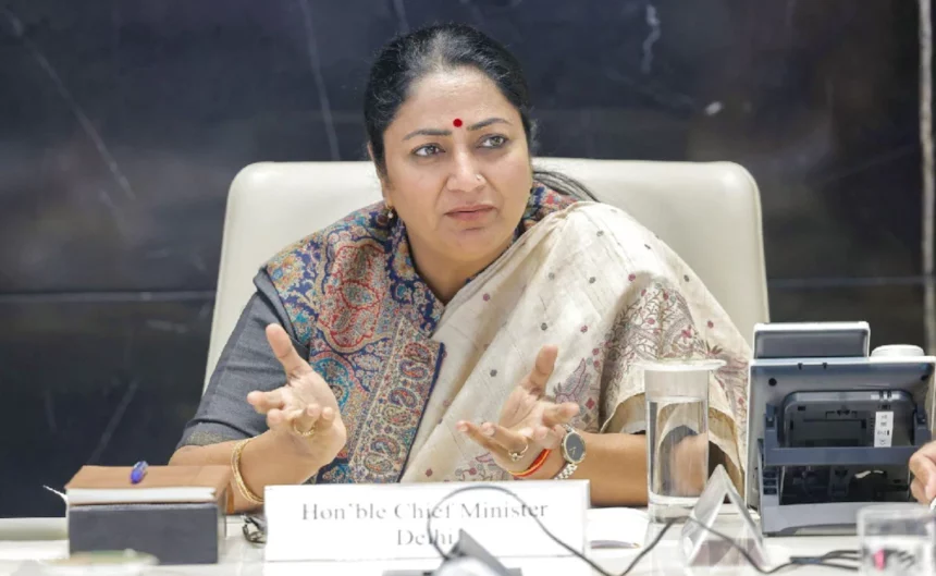
In a significant and far-reaching move to address long-pending issues related to identification, ownership and documentation of Abadi Deh land in Delhi’s rural areas, the Delhi Government has announced the launch of a comprehensive Abadi Deh survey. The initiative aims to create verified land records, ensure legal ownership rights for villagers and bring transparency to rural land management. Chief Minister Rekha Gupta said the decision marks a historic step that will not only strengthen the land administration system but also provide financial security and legal certainty to rural residents.
Sharing details of the initiative, the Chief Minister said the government has taken a decisive and transformative step to secure property ownership rights in rural Abadi Deh areas and resolve decades-old boundary and ownership disputes. For effective implementation of the SVAMITVA Scheme, launched by Prime Minister Narendra Modi on April 24, 2020, the Delhi Government has prepared a draft of the Delhi Abadi Deh Survey and Record Management Rules, 2025. The draft clearly defines the entire operational framework, including drone-based aerial surveys, ground verification, public objection procedures, dispute resolution, digitisation of records and issuance of property cards. The objective, she said, is to ensure that no individual’s rights are violated and that land-related disputes are resolved in a transparent, fair and time-bound manner.
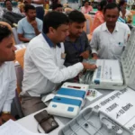
According to government provisions, the Abadi Deh survey will be conducted under the direct supervision of the Revenue Department. Specially constituted survey teams and technical agencies will jointly carry out surveys in Abadi Deh areas, extended Abadi Deh zones and other notified regions. Modern technology will play a key role in the process, with drones and aerial photography used to collect digital data. This will help accurately record the location, size and boundaries of each land parcel. However, officials clarified that technology-based surveys will be complemented by mandatory on-ground verification. Preliminary maps prepared through drone surveys will be physically verified on site to ensure that recorded boundaries accurately reflect ground realities.
The Chief Minister also highlighted that the Revenue Department signed a Memorandum of Understanding with the Survey of India in April 2022 to implement the SVAMITVA Scheme across 48 rural villages in Delhi. Drone surveys have already been completed in 31 villages, while Map 2.0 for 25 villages has been verified and submitted to the Survey of India. These verified maps will be used to issue land parcel maps and geo-referenced identification numbers, forming the foundation for accurate land records.
As part of the initial phase of the survey, physical demarcation of Abadi Deh boundaries will be carried out using appropriate methods. Survey teams will categorise land into different classes, including jointly owned land, private plots, roads, lanes, drains, community spaces, religious sites, graveyards, cremation grounds and government properties. Land parcels that are not clearly visible in aerial surveys due to dense vegetation or existing structures will be identified separately. To ensure smooth execution of the process and prevent any tampering with boundaries, support from municipal corporations, the Delhi Development Authority, other government departments and the police administration will be taken wherever required.
The government has also decided to fully computerise Abadi Deh land records. A dedicated digital portal will be developed by the Revenue Department, allowing citizens to access copies of their land records upon payment of prescribed fees. This step is expected to significantly improve transparency, enhance record security and make land-related information easily accessible to the public. Once the survey and record management process is completed, property cards will be issued to eligible residents. These cards will serve as legally valid proof of ownership and will enable villagers to avail bank loans, financial assistance and various government welfare and development schemes.
The Chief Minister said the initiative will also promote planned development in Abadi Deh areas. It is expected to help improve civic amenities, preserve village heritage, increase land value and facilitate the development of rural infrastructure in line with urban standards. She added that the move would resolve long-standing disputes related to land boundaries and ownership, while also accelerating the implementation of government schemes by bringing clarity to land rights. According to her, the decision will provide rural residents with greater confidence, legal protection and economic opportunities.
Abadi Deh refers to the inhabited area within a village’s revenue boundary, traditionally comprising residential houses, cowsheds, threshing floors and other supporting structures. Historically, these areas were excluded from agricultural land records, leaving residents without formal or legal documentation of ownership. As a result, villagers often faced difficulties in accessing institutional finance and resolving property disputes. The proposed Abadi Deh survey and issuance of property cards under the SVAMITVA framework are expected to bridge this long-standing gap. Officials said the initiative will usher in a new era of rural land governance in Delhi, with its impact likely to be felt for years to come.