A fresh spell of changing weather conditions is set to unfold across North and Central India as a series of active western disturbances approach the region, prompting warnings from the India Meteorological Department (IMD) about rain, snowfall, dense fog and fluctuating temperatures between January 31 and February 7. From the plains of Delhi-NCR, Punjab and Haryana to the hills of Himachal Pradesh and Uttarakhand, residents are likely to experience a noticeable shift from relatively stable conditions to a more unsettled pattern marked by cloud cover, precipitation and reduced visibility, particularly during morning hours.
Western disturbances to alter weather pattern across North and Central India
According to the IMD, multiple western disturbances are expected to influence weather systems over northwestern India in quick succession, setting off widespread changes across both northern and adjoining central regions. Western disturbances, which originate over the Mediterranean region and move eastwards towards the Indian subcontinent, are a key driver of winter precipitation in North India. Their increased activity during late January and early February often leads to rain in the plains and snowfall in the higher reaches of the Himalayas, accompanied by sharp variations in temperature and wind patterns.
Meteorologists have indicated that the upcoming disturbances will be relatively active, with one system expected to impact northwestern India from January 31 onwards, followed by additional systems in the first week of February. As these disturbances interact with existing moisture and local weather conditions, they are likely to bring intermittent rainfall to states such as Punjab, Haryana, western Uttar Pradesh and Delhi-NCR, while hill states like Himachal Pradesh and Uttarakhand may witness fresh spells of snowfall in higher altitudes.
The IMD has also cautioned that the influence of these systems will not remain confined to the northern belt alone. As the disturbances move eastward and southward, their effects are expected to be felt in parts of central and eastern India as well. East Uttar Pradesh is likely to receive light rain accompanied by lightning activity until February 2, while parts of Madhya Pradesh may see thunderstorms and scattered showers on February 2 and 3. In western Rajasthan, isolated hailstorm activity has also been forecast, highlighting the intensity and variability associated with the approaching systems.
Temperature trends across North India are expected to show noticeable fluctuations during this period. While cloud cover and precipitation may temporarily push minimum temperatures upwards in some areas, the passage of the disturbances and the subsequent inflow of colder air could lead to a renewed dip in temperatures once skies begin to clear. This on-and-off pattern is likely to sustain chilly conditions across much of the region, particularly during early morning and late night hours.
Another significant impact of the changing weather pattern is the likelihood of strong surface winds in some areas, especially during and after rainfall episodes. These winds, combined with moisture-laden air, may enhance the chill factor, making conditions feel colder than indicated by thermometer readings. The IMD has advised residents, particularly in vulnerable regions, to remain alert to sudden weather changes and plan travel and outdoor activities accordingly.
Dense fog, rain and localised storms to affect Delhi-NCR and surrounding states
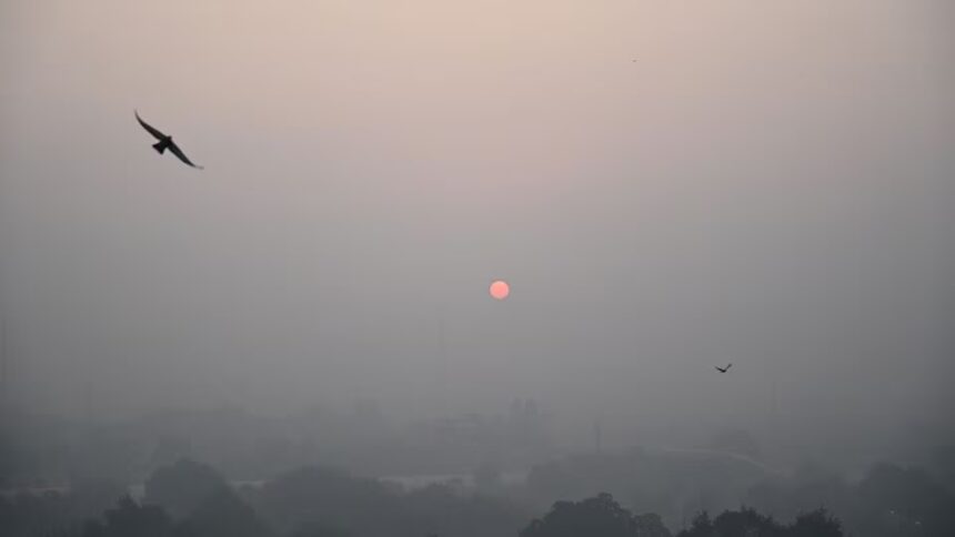
One of the most immediate concerns highlighted by the IMD is the persistence of dense fog across large parts of northern India. Foggy conditions are expected to prevail in isolated pockets across Punjab, Haryana, Chandigarh, Himachal Pradesh and Uttarakhand until at least February 1, with the possibility of further extension depending on local conditions. Dense fog significantly reduces visibility, especially during early morning hours, leading to disruptions in road, rail and air traffic.
In eastern India, dense fog warnings have been issued for several districts of North Bengal, including Darjeeling, Cooch Behar, Jalpaiguri, Alipurduar and North Dinajpur. In these areas, visibility may drop sharply, affecting daily life and transportation. The IMD has warned that such conditions could cause delays and safety concerns, particularly for commuters and travelers, and has urged people to exercise caution while driving or commuting during fog-prone hours.
Delhi-NCR is expected to experience a spell of generally cloudy skies over the coming days, with light rain and strong winds likely to begin from Saturday night. The national capital has already seen fluctuating winter conditions this season, alternating between clear, cold days and periods of cloudiness and fog. The impending western disturbances are expected to reinforce this pattern, bringing short spells of rainfall that may temporarily improve air quality but also contribute to damp and chilly conditions.
Minimum temperatures in Delhi-NCR are forecast to range between 6°C and 13°C during this period, reflecting the combined influence of cloud cover, moisture and cold air intrusion. While daytime temperatures may remain relatively moderate under overcast skies, nights and early mornings are likely to feel distinctly cold, particularly in areas experiencing fog and light winds.
IMD forecasts also indicate the possibility of thunderstorms in Delhi-NCR over the next two days, accompanied by brief spells of rain. Such weather events, though not expected to be severe, may lead to temporary disruptions, including traffic congestion and delays in flight operations at major airports. Residents have been advised to stay updated with the latest forecasts and advisories, especially if planning travel during peak fog hours.
In the hill states of Himachal Pradesh and Uttarakhand, the approaching western disturbances are expected to bring fresh snowfall in higher elevations, while lower regions may receive rain. These conditions could have implications for tourism, agriculture and local infrastructure, particularly in areas prone to landslides or road blockages during winter precipitation. Authorities in these states are likely to remain on alert to manage any weather-related challenges that may arise.
Further south, parts of Madhya Pradesh are likely to witness thunderstorms and showers on February 2 and 3, extending the influence of the western disturbances into central India. While such rainfall may provide some relief from dry conditions, it could also affect rabi crops in certain areas, depending on intensity and timing. In western Rajasthan, the forecast of isolated hailstorms underscores the need for farmers and local administrations to remain vigilant, as hail can cause damage to standing crops and property.
Overall, the evolving weather situation points to a dynamic and active period for much of India, particularly across the northern and central regions. The IMD’s advisories highlight the importance of preparedness in the face of changing weather patterns, especially during winter when western disturbances play a critical role in shaping regional climate conditions. With rain, fog, snow and temperature swings all on the horizon, the coming days are expected to test both infrastructure and daily routines across several states.