A recent cartographic representation released by a key United States government office has triggered widespread diplomatic and political attention by depicting the entire region of Jammu and Kashmir, including Pakistan-occupied Kashmir and Aksai Chin, as part of India’s sovereign territory. The map, published alongside a major trade-related announcement, has been widely interpreted as a significant diplomatic signal from Washington at a time of evolving geopolitical alignments in South Asia.
India has consistently maintained that Jammu and Kashmir is an integral and inalienable part of its territory, rejecting Pakistan’s claims over Pakistan-occupied Kashmir and asserting sovereignty over Aksai Chin despite competing claims from China. While New Delhi has never sought or depended upon external validation of its territorial boundaries, the depiction by the United States has nonetheless drawn attention due to Washington’s historical practice of using ambiguous or dotted-line representations in disputed regions.
The map’s release coincides with renewed momentum in India–US relations, particularly in trade, strategic cooperation, and regional security. Its timing has amplified its significance, as it comes amid recalibrations in US foreign policy and renewed engagement with India following periods of economic friction and geopolitical uncertainty.
Observers note that cartographic representations by major powers are rarely accidental. Even when framed as technical or administrative documents, maps often carry symbolic and strategic weight, especially in regions marked by long-standing disputes. In this context, Washington’s depiction of India’s northern boundaries has been read as a departure from past caution and an implicit acknowledgment of India’s position.
The development has sparked intense debate across diplomatic circles, with analysts examining whether the move reflects a deeper strategic shift, a by-product of trade negotiations, or a recalibration of US posture toward India, Pakistan, and China simultaneously.
Diplomatic Significance and Departure from Past US Positioning
Historically, United States government maps have adopted a careful approach when depicting disputed territories in South Asia. Regions such as Pakistan-occupied Kashmir were often shown with dotted lines or annotations to reflect competing claims, while Aksai Chin was sometimes marked separately or ambiguously in deference to China’s position. This cartographic caution was rooted in Washington’s effort to maintain diplomatic balance between regional rivals.
The latest depiction marks a noticeable departure from that approach. By showing the entire territory of Jammu and Kashmir, including PoK and Aksai Chin, as part of India without any qualifying annotations, the map sends a message that goes beyond technical representation. It suggests a willingness to align cartographically with India’s stated territorial claims.
For New Delhi, the depiction aligns with its long-standing position that the territorial status of Jammu and Kashmir is non-negotiable and internal. Indian officials have consistently objected to international representations that dilute this stance, viewing them as inconsistent with India’s sovereignty and constitutional framework.
While India has refrained from framing the map as external validation, the diplomatic resonance is unmistakable. The United States is not just any international actor; it is India’s most significant strategic partner and a central player in Indo-Pacific geopolitics. Any shift, perceived or real, in Washington’s approach carries regional and global implications.
The move has also been interpreted as a subtle signal to Pakistan. Islamabad has long relied on international forums and representations to sustain its claims over Kashmir. A major power depicting the region unequivocally as Indian territory weakens that narrative, at least symbolically.
At the same time, the depiction carries implications for US-China dynamics. Aksai Chin remains a sensitive issue in India–China relations, particularly after repeated military standoffs along the Line of Actual Control. By including Aksai Chin within India’s boundaries, the map implicitly challenges China’s cartographic assertions, even if not accompanied by an explicit policy statement.
Analysts caution against overstating the immediacy of the shift. Cartographic representations do not automatically translate into binding policy changes. However, in diplomacy, symbolism often precedes substance. The map’s release amid improving India–US relations has therefore been viewed as part of a broader narrative of strategic convergence.
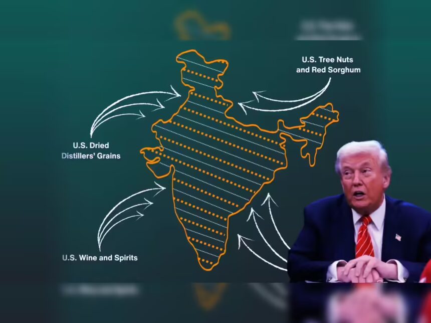
Trade Context, Strategic Calculations, and Regional Implications
The timing of the map’s release has drawn particular attention due to its association with an interim trade framework between India and the United States. The agreement reflects a thaw in economic relations after a period marked by tariff disputes, trade penalties, and disagreements over energy sourcing.
Under the interim framework, tariff reductions and reciprocal market access commitments have been outlined, signaling a renewed willingness on both sides to stabilise and expand economic engagement. The cartographic depiction, released in the same context, has been interpreted by some analysts as reinforcing a broader political goodwill underpinning the trade understanding.
Beyond economics, the development must be viewed within the larger strategic environment. The United States has increasingly emphasised partnerships with countries that align with its Indo-Pacific vision. India, with its strategic location, growing economic weight, and shared concerns over regional security, occupies a central place in that framework.
In this context, the map can be seen as reinforcing political trust. By avoiding ambiguity on a core Indian concern, Washington signals sensitivity to New Delhi’s red lines. This sensitivity becomes particularly relevant as discussions expand to defence cooperation, technology sharing, and regional stability.
At the same time, the depiction introduces new complexities. Pakistan is likely to view the map as evidence of US bias, potentially reinforcing its perception of marginalisation in Washington’s regional calculus. This may further strain already fragile US–Pakistan relations.
China, too, is expected to take note. While Beijing often dismisses foreign cartographic representations that contradict its claims, the inclusion of Aksai Chin as Indian territory by a US government office may be read as part of a broader pattern of strategic competition between Washington and Beijing.
India’s response has remained measured. Officials have reiterated that India’s territorial integrity is rooted in its own constitutional and legal framework, not in external acknowledgements. At the same time, there is recognition that such representations contribute to shaping global perceptions.
The episode underscores how trade, diplomacy, and cartography intersect in modern geopolitics. Maps are not merely descriptive tools; they reflect choices, priorities, and alignments. In this case, the US depiction of India’s borders has become a focal point for discussions on sovereignty, partnership, and power projection in South Asia.