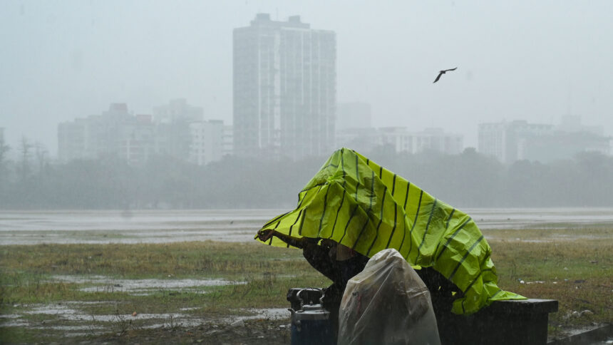
The India Meteorological Department (IMD) has forecasted thunderstorms, lightning, and gusty winds (40-60 kmph) over Kolkata and parts of Bengal until March 22 due to an anti-cyclonic circulation over the Bay of Bengal.
According to the IMD, a trough extends from central Odisha to Vidarbha, leading to wind confluence over eastern and central India. As a result, sub-Himalayan West Bengal and Sikkim are expected to witness isolated to scattered light to moderate rainfall with thunderstorms and lightning on March 20 and 21. Gangetic West Bengal, including Kolkata, may experience light to moderate rainfall from March 19 to 22.
Meanwhile, temperatures in East India are expected to remain stable over the next two days, but minimum temperatures may drop by 4-6°C in the coming three days.
Delhi Weather Update
Delhi recorded a maximum temperature of 32.8°C on Wednesday, 1.5 degrees above normal. The IMD has predicted a gradual rise in maximum temperatures by about 2°C over northwest India in the next two days, with no significant changes afterward.
Odisha Weather Update
Odisha is likely to witness similar weather conditions, with light to moderate rainfall and thunderstorms from March 19 to 22. However, the state is also experiencing heatwave-like conditions in several regions, particularly affecting students amid ongoing school examinations, which will conclude on March 27.
Disaster Management Minister Suresh Pujari stated that temperatures have already started rising in many parts of the state, a month earlier than usual. Districts such as Boudh, Sambalpur, Jharsuguda, Bargarh, Bolangir, and Sundargarh are experiencing heatwave conditions, while the coastal region is witnessing increased humidity.
To address the situation, authorities have issued directives to various departments and district collectors to take necessary precautions against the heatwave.